Radiosonde Data for: NEAQS 2004

ACTION
Select Radiosonde DataSet
Sonde Information
Download Sonde Data
Go to Another Cruise
Plot Surface Data

The radiosonde data were taken by Dan Law, Dan Wolfe, and Michelle Ratterree from NOAA-ETL.

The radiosonde data for the NEAQS 2004 on the NOAA R/V Ronald H. Brown were collected with a Vaisala receiver using Vaisala RS92 GPS radiosondes. These sondes directly measured temperature, pressure and relative humidity. By tracking the position of the sondes from GPS signals, the sondes horizontal position was measured from which the horizontal wind speed were calculated.

The raw data files have data at 2 second intervals during the sounding, with the typical assent rates, this gives data points about every 5-10 meters. For plotting these data were interpolated onto a standard 50 meter altitude grid.

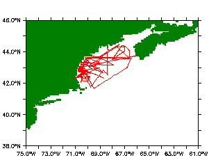
Radiosonde Wind Vectors: In all plots winds speeds are in m/s. The horizontal wind vectors are plotted with arrows the whose length is proportional to the wind speed. The length of a standard wind vector of 20 m/s is shown at the bottom of each plot. Arrows pointing down indicate wind from the north, Arrows pointing right indicate wind from the west.

U.S.Dept of Commerce / NOAA / OAR / PMEL / Atmospheric Chemistry