|
|
 |
|
|
|
The radiosonde data for ATOMIC on the R/V Ronald H. Brown (RHB)
were collected by the group from Oregon State University using a
Vaisala system
The data files can be accessed here (click on
"Download Sonde Data" above)
The raw data files have
data at 1 second intervals during the sounding, with the typical
assent rates, this gives data points about every 2-5 meters. For
plotting these data were interpolated onto a standard 50 meter
altitude grid.
There are three sets of data available on this server for downloading and plotting.
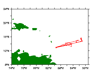
1. ATOMIC Leg 1. The data collected from the radiosondes on the RHB during “Leg 1”, January 8 through January 24.
2. ATOMIC Leg 2. The data collected from the radiosondes on the RHB during “Leg 2”, January 29 through February 12.
3. Merged RHB BCO. A data set of radiosonde data from Legs 1 and 2 on the Ronald H. Brown with the gaps from when the RHB was in Bridgetown filled in with the data from the radiosondes that were launched at the Barbados Cloud Observatory (BCO). There was a five day data gap in the RHB data, between leg1 and leg2 when the RHB came into Bridgetown on January 24 for a scheduled port call. There was also a 3 gap in the RHB data starting on February 4 when the RHB needed to come into Bridgetown for an unscheduled medical emergency. The radiosonde data collected from the BCO during these two time port calls has been used to fill in the gaps in the RHB radiosonde record
Radiosonde Wind Vectors: In all plots winds speeds are in m/s. The horizontal wind vectors are plotted with arrows the whose length is proportional to the wind speed. The length of a standard wind vector of 20 m/s is shown at the bottom of each plot. Arrows pointing down indicate wind from the north, Arrows pointing right indicate wind from the west.
U.S.Dept of Commerce / NOAA / OAR / PMEL / Atmospheric Chemistry